
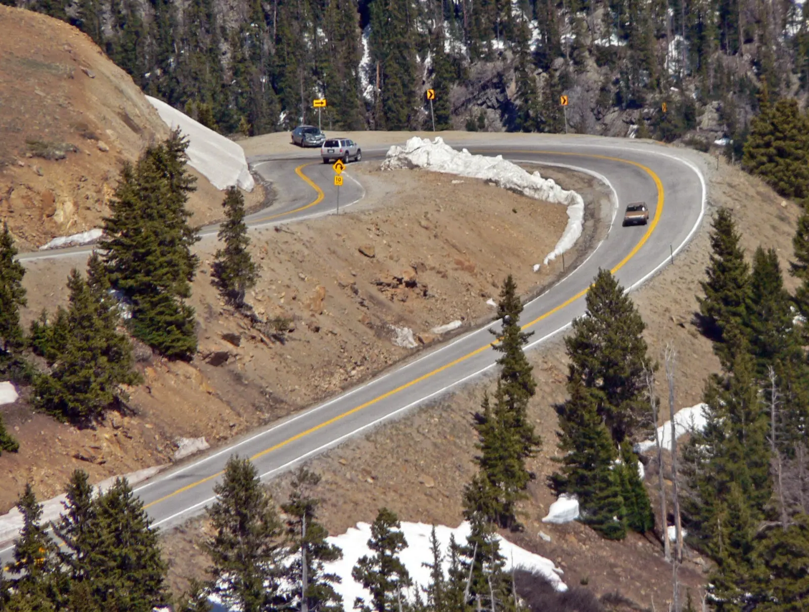
Live--:--:-- MTHighway 82 · Independence Pass · Twin Lakes · I-70
Independence Pass road conditions today.
Independence Pass right now: usually closed in winter, confirm on cotrip.org · I-70 closed at the foothills · Denver → Vail 2 h 41 min (last reading 9:16 AM) · as of 9:24 AM MT · COtrip
Whether the pass is open, the way around when it isn't, and live I-70 drive times, chain laws, radar and the forecast at the summit. From CDOT's COtrip, the National Weather Service and the FAA.
- COtrip · CDOT
- NWS forecast & alerts
- NWS radar
- FAA airport status
COtrip travel times
How long it takes, right now.
Leaving Denver · westbound into the mountains
- Last reading
Westbound → into the mountains
From Denver to Vail
I-70 west, through the tunnel and over Vail Pass · 83 mi
Normally
91min
No traffic, at the speed limit
At 9:16 AM
161min
COtrip's last reading: no live time for this stretch right now
COtrip, updated
- Last reading
Westbound → into the mountains
From Denver to Eisenhower Tunnel
I-70 west, the climb to 11,158 ft · 45 mi
Normally
49min
No traffic, at the speed limit
At 9:15 AM
127min
COtrip's last reading: no live time for this stretch right now
COtrip, updated
- Moving well
Westbound → into the mountains
From Silverthorne to Vail
I-70 west over Vail Pass · 28 mi
Normally
31min
No traffic, at the speed limit
Right now
35min
+4 min vs normal
COtrip, updated
Heading to Denver · eastbound
- Last reading
Eastbound ← toward Denver
From Vail to Denver
I-70 east, over Vail Pass and through the tunnel · 83 mi
Normally
90min
No traffic, at the speed limit
At 9:16 AM
127min
COtrip's last reading: no live time for this stretch right now
COtrip, updated
- Slower than usual
Eastbound ← toward Denver
From Vail to Eisenhower Tunnel
I-70 east over Vail Pass · 37 mi
Normally
40min
No traffic, at the speed limit
Right now
46min
+6 min vs normal
COtrip, updated
- Last reading
Eastbound ← toward Denver
From Frisco to Denver
I-70 east, the tunnel and the descent · 59 mi
Normally
64min
No traffic, at the speed limit
At 5:07 AM
86min
COtrip's last reading: no live time for this stretch right now
COtrip, updated
“Denver” here is where I-70 meets C-470, at the west edge of the metro area — from Denver International Airport, add about 45–60 minutes. COtrip publishes travel times for I-70 between Denver and Vail; west of Vail and on Highway 82, check the closures below.
National Weather Service warnings
No active warnings for Aspen, Independence Pass, Twin Lakes, Leadville, Glenwood Springs.
Closures, chain laws and airports.
We keep an eye on the National Weather Service, COtrip and the FAA — and once you book, your trip page shows the forecast and I-70 conditions for your ride.
National Weather Service
api.weather.gov
Live · Updated 8:31 AM MST
Rifle
Sunny
29°20°44°1%Aspen
Chance Snow Showers then Partly Sunny
24°9°38°53%Vail
Chance Snow Showers then Partly Sunny
20°9°33°48%Denver
Chance Snow Showers
40°22°47°44%
CDOT COtrip · I-70
data.cotrip.org
Live · Updated 9:15 AM MST
Glenwood Canyon
MM 116–146
—Vail Pass
MM 146–195Chain law
—Eisenhower/Johnson Tunnels
MM 195–227Chain law
—Denver access
MM 227–260
Closed
FAA · Airport status
nasstatus.faa.gov
Live · Updated 9:38 AM MST
Aspen
ASE
No delaysEagle
EGE
No delaysRifle
RIL
No delaysGrand Junction
GJT
No delaysDenver
DEN
Cameras and the full map: cotrip.org · Traction law: codot.gov
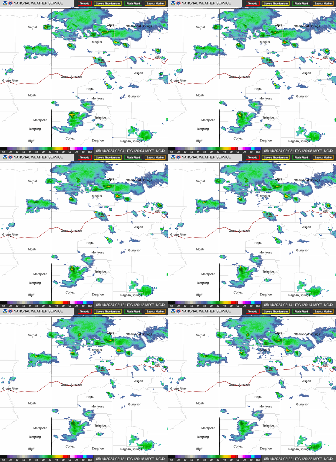
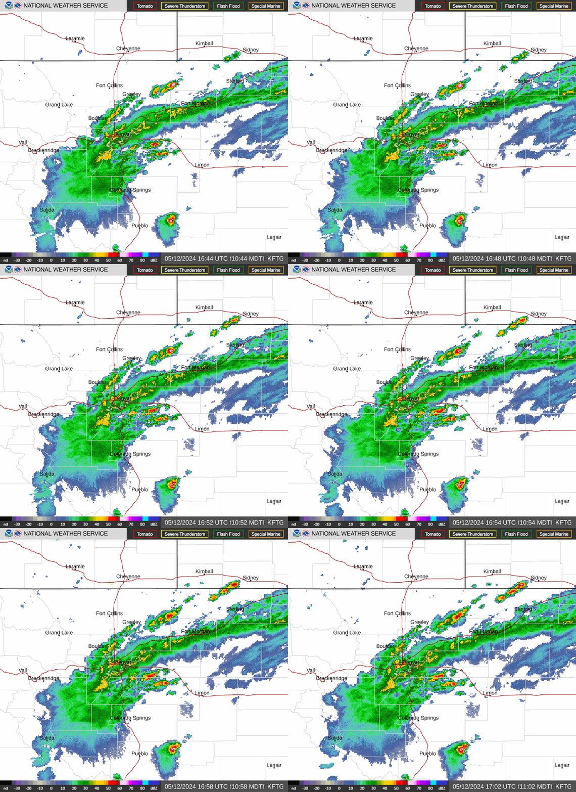
NWS radar · refreshes every 5 min
Storms on the way.
National Weather Service · 7 days
The week ahead, along the drive.
5 days to watch this week.
- Today: Aspen (snow 53%), Independence Pass (snow 55%), Twin Lakes (snow 53%), Leadville (snow 54%)
- Mon: Aspen (snow 72%), Independence Pass (snow 79%), Twin Lakes (snow 70%), Leadville (snow 83%), Glenwood Springs (snow 58%)
- Wed: Independence Pass (snow 20%)
- Thu: Aspen (snow 42%), Independence Pass (snow 42%), Twin Lakes (snow 40%), Leadville (snow 41%), Glenwood Springs (snow 38%)
Aspen
7,908 ft
Independence Pass
12,095 ft summit
Twin Lakes
9,200 ft
Leadville
10,152 ft
Glenwood Springs
The winter way in
Over the Divide, east from Aspen
The summer shortcut, closed all winter.
Aspen to Denver over the pass is about 160 miles, around 3 h 30 in summer. From early November to late May the way in is through Glenwood Springs.
- 01Aspen to the winter gateHighway 82 · east of townUp the Roaring Fork past the last homes. In winter a gate closes the road a few miles out of Aspen.
- 02The narrows and the summitHighway 82 · 12,095 ftOne lane in places, with long drops and no shoulder. CDOT prohibits vehicles 35 feet or longer, trailers included.
- 03Down to Twin LakesHighway 82 · east sideSwitchbacks off the Divide to Twin Lakes and US-24. Snow can fall at the summit in any month.
- 04Leadville and Fremont PassUS-24 · CO-91 · 11,318 ftNorth through Leadville and over Fremont Pass to I-70 at Copper Mountain, then east through the tunnel to Denver.
- 05The winter way: Glenwood SpringsI-70 · Highway 82When the pass is closed, Aspen is reached from the west: I-70 to Glenwood Springs, then 41 miles up the valley. About 200 miles and 4 hours from Denver.
Colorado's winter driving law
The traction law, in short.
- Code 15 · Traction LawOn I-70 from Dotsero to Morrison it applies every day from September 1 to May 31. Every vehicle needs tires with at least 3/16" of tread and 4WD/AWD, or M+S, winter (mountain-snowflake) or all-weather tires — or chains or another approved traction device.
- Code 16 · Chain LawThe last step before a closure, in a severe storm. Commercial vehicles must chain up; passenger vehicles may be required to as well.
- If your car doesn't qualifyCDOT can turn it back and fine the driver. A rental with summer tires often doesn't qualify — check before you leave Denver.
Questions about the drive.
Is Independence Pass open right now?
Not in winter: Highway 82 over the pass is closed from early November to late May, and the line at the top of this page follows CDOT's calendar. In summer it can still close for snow, rockfall or crashes; cotrip.org shows any closure.
When does Independence Pass open for the summer?
CDOT aims to open it the Thursday before Memorial Day weekend and typically closes it around November 7, both weather permitting; CDOT announces the dates each year, so check cotrip.org before you go.
How do I get from Denver to Aspen when the pass is closed?
I-70 west to Glenwood Springs, then Highway 82 up the valley: about 200 miles and 4 hours in good conditions. The live I-70 times and closures on this page cover that drive.
Can I drive Independence Pass with an RV or a trailer?
Not if the vehicle, or vehicle and trailer together, is 35 feet or longer: CDOT prohibits them between mile 47.2 near Aspen and mile 84.2 near Twin Lakes, because the road narrows to one lane in places, with tight switchbacks.
Is Independence Pass faster than going through Glenwood Springs?
In summer, from Denver, usually yes: about 160 miles against 200. It is slow going over the top, so the time saved is smaller than the miles suggest.
How high is Independence Pass?
12,095 ft at the Continental Divide, one of the highest paved passes in Colorado. Expect cold and wind at the top, even in July.
Can I get a ride to Aspen instead?
Yes. A private SUV or van from Denver airport or anywhere in Denver to your door in Aspen or Snowmass, any time of year, at a fixed price per vehicle, booked online in minutes. Rides are provided by licensed, insured partner carriers.
Keep planning the drive.
Other roads, live
Rides on this drive
Skip the drive
Let someone else pick the road.
A private SUV or van from Denver airport to your door in Aspen or Snowmass, whichever way is open. Flight tracked, winter-ready, booked in minutes.
Rides are provided by licensed, insured partner carriers.